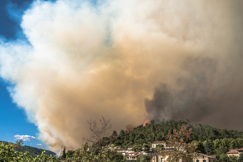
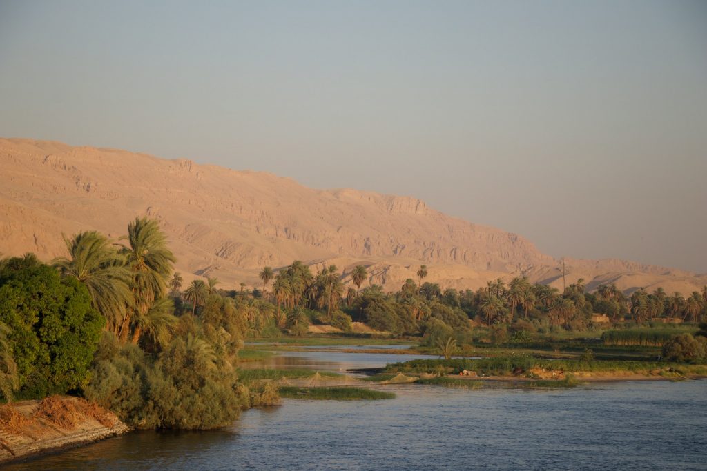
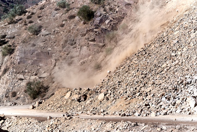
The twin between Greece (Attica) and different national parks in Ethiopia (National Parks) demonstrates how a holistic wildfire management approach based on monitoring and forecasting tools benefits the preparedness, response and recovery, in very different contexts: high/low capacity, densely/sparsely populated areas, focus on protection of human life/ecosystem services.


The twin between the two historical sites, Venice and Egypt’s coast along the Mediterranean with Alexandria and the Nile Delta will demonstrate how enhanced and temporally extended sea level height forecast and flood warning can protect people, facilities, and critical infrastructure, and reduce losses.
In this twin, MedEWSa aims to increase preparedness, reduce prediction uncertainty and assess impact-based forecasts in connection to the DSDS procedures and Copernicus services.
The Košice region (Slovakia) was selected due to its exposure to multiple hazards. Moreover, the population in the region is highly vulnerable. Košice city is also one of the 100 pilot cities for Climate Mission implementation. Similarly, the Tbilisi (Georgia) region is highly exposed to pluvial and fluvial flooding and landslides. Several river basins are prone to flash floods, debris flows/mudflow and landslides affecting the Tbilisi city and its surroundings.


Catalonia has seen a decrease in yearly average number of wildfires and burnt areas due to improved firefighting effectiveness. However, the accumulation of available biomass and the increase in droughts and heatwaves have led to more extreme fire behaviours in recent years. Sweden has seen a sharp increase in wildfire activity in recent years, notably in 2014 and 2018. These events were caused by a combination of drought and excessive heat.
This twin will not only focus on exchanging knowledge between the two services developed for different scales (regional and national), but further add value to the accuracy of warnings by considering additional indicators and improving preparedness through an increased forecast horizon (from a week to months ahead).


Pilot sites
Attica is a Greek administrative region, encompassing the metropolitan area of Athens, covering 3,808 km² and with a population of 3,8 Mio.
The Ethiopian pilot site focuses on three national parks of high biodiversity and tourism relevance: Simien, Bale mountains and Gambella national park.
Attica consists of Athens, the capital, with particular characteristics, e.g. overpopulation, over-concentration of critical infrastructure, and a long coastline. Recent catastrophic events, flash flood in Mandra (2017) and wildfire in Mati (2018), are examples of the tragic consequences of the combination of natural hazards and man-made interventions. Ethiopia is characterised by high wildfire susceptibility. Even in the Cool Highlands, where temperature and rainfall conditions would reduce the risk of fire hazard, the ample fuel accumulation and strong winds can trigger isolated, catastrophic fire outbreaks, e.g. wildfire in the Simien Mountains National Park (2019). Before the start of the rainy season, agricultural and other use of fires take place, but if the rainy season is delayed or below average, the human-induced fires go out of control and affect the surrounding national parks threatening the ecosystem. The national wildfire management system needs improvement with state-of-the-art tools.
MedEWSa will improve the current DSDS by:

Pilot sites
Egypt’s Mediterranean coast stretches over 1100 km, has a high population density, concentrates many social and economic activities and is a well-known archaeological area. Nile Delta is an important economic region in various fields and part of the urban and infrastructural development plans of the new Republic of Egypt (e.g. seaports, gas and oil production, petrochemical industry, tourism, agriculture). The region experiences extreme weather events such as thunderstorms, while it is also affected by sea level rise and flooding and is subject to erosion. Agricultural and urban areas are affected leading to the displacement of millions of people.
Venice is a semienclosed regional basin with one of the largest tidal ranges and extreme sea levels in the Mediterranean Sea. The city of Venice is an important study site for coastal flooding because:
MedEWSa will improve the current DSDS by:

Pilot sites
The Košice region covers an area of 6,754 km², with floodplains in the south eastern part of the region and a lowland-hilly landscape elsewhere. There are four rivers with several water reservoirs: Slaná and Bodva in the southwest, Hornád in the west and centre, and Bodrog in the east.
Tbilisi covers an area of 504 km². It lies on the banks of the Mtkvari (Kura) River at 380-600m above sea level. To the north, Tbilisi is bounded by the southerly foot-hills of the Saguramo Range, to the east the northwest segment of the Iori plain and to the west and south by the Trialeti Range. There are 11 main tributaries flowing into the Mtkvari river in Tbilisi.
MedEWSa will improve the current DSDS by:


Pilot sites
Catalonia is around 42% forested (40% is in the Natura 2000 network), with an estimated annual value of forest-derived products is almost €60 million. The fire season used to be from June to September, but has increasingly expanded beyond the summer months. Rural abandonment in recent decades has led to an increase in fuel load. In recent years Catalonia suffered heatwaves and droughts.
Around 65% of Sweden‘s total land area is covered with forests. Particularly, southern Sweden is predominantly agricultural, with increasing forest coverage northward. Most of southern Sweden has a temperate climate with four distinct seasons and mild temperatures throughout the year and warm summers (sometimes matching temperatures found along the continental Atlantic coast as far south as northern Spain).
MedEWSa will improve the current DSDS by: